This article is part of a blog series, in which we explore how drones will grow and the benefits and challenges of using them in the construction industry
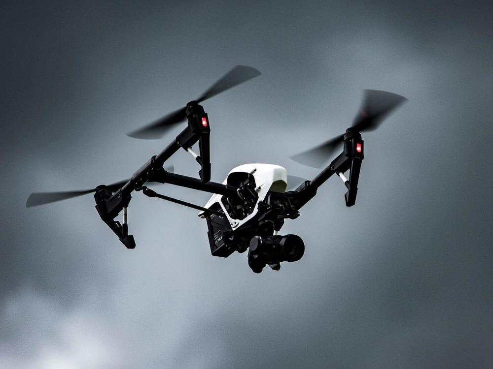
Drones, or unmanned aerial vehicles (UAVs), are now very sophisticated and used extensively by professionals in a variety of industries. The AECO industry has seen drone usage increasing year over year. It is now part of the toolkit of many companies in the field of construction. Using an intuitive, camera-embedded drone helps you to get low-cost, high-definition aerial imagery of construction sites. The quality of data you are getting is very valuable and will help you overcome your initial concerns when you first survey a construction site with a drone.
Drones require some training, but they are easier to use day after day and with experience, they become an invaluable asset in monitoring, surveying, and mapping construction sites. Drones are equipped with different cameras:
Drones can fly slowly and hover in specific areas and they are cheap, functional, affordable, and produce better image quality than conventional airplane-based imaging.
Drone technology brings new benefits and challenges, as described below. The new approaches and methods help you to:

Traditional methods of obtaining visual data of a construction site with helicopters or terrestrial techniques are very expensive, not always accurate, and very quickly obsolete. Drones produce better quality and more precise visual data, faster, at a cheaper price, and in real-time. Below are some of the other benefits drones bring to the construction industry.
Various stakeholders like contractors, engineers, subcontractors, and architects working together on a construction site, need to accomplish specialized tasks, within strict and tight deadlines. To be successful, they need frequent updates to make sound decisions collaboratively.
Drones can provide a full and accurate picture of the construction site when required. All stakeholders can see and interpret the data simultaneously to speed up the decision-making process by:
In addition to site maps and pictures, you can see the following important information from data captured by drones on a single flight:
Collecting data with drones is fast and easy. It shortens the labor and time-intensive data collection in the field. With drones, you can:
The more you survey the site the better your documentation will be. It will be very useful at each stage of the project’s life cycle. With traditional methods, it is cumbersome and labor-intensive to:
With drones, stakeholders can review and find mistakes when they happen. The data produced through the construction process are:
With traditional methods, office-based project stakeholders regularly travel to the site or must get their information from the site manager to monitor progress.
With drones, the site manager can capture images and then transfer the information via the internet. Office-based staff can immediately and simultaneously see the project progress on their computer, evaluate it, and discuss it with the site manager as if they were on-site together.
Cloud-based platforms such as Procore allow all stakeholders to access construction progress from any location at their convenience without traveling to the site or relying on the site workers' goodwill.
Drones can inspect areas of a site that can be difficult to reach, or where dangerous machinery is located. So, you can significantly reduce the potential risks of accidents to workers.
Securing areas on a construction site can prevent unauthorized people from entering a work-restricted area. Only qualified employees will be allowed to work in this area. Drone imagery can help to locate a violation in the boundary of a confined site immediately, preventing illegal entry and potential accidents.
In maintenance work, inspecting sites with drones, rather than mounting electric poles or walking alongside a busy road, workers can get images without putting themselves at risk.
Despite all these benefits, using drones is not without challenges.

Drone reliability is improving all the time thanks to sophisticated sensors and software, making the collection of data imagery logical and smooth, but there are a few drawbacks to evaluate when you want to implement a drone program.
When you decide to buy drones, it is important to include training costs in your investment budget. This will help ensure your staff know how to operate, manage, and maintain them. Some drones require:
You will have to review and streamline your processes, introduce new workflows to use the drone efficiently, and help your team get the right information at the right time.
Choosing an easy-to-use drone and software with well-integrated sensors and a global navigation satellite system (GNSS) may help your staff on-site to use them appropriately and produce accurate data as needed.
Flying drones is more and more regulated by governments as follows:
Construction companies using drones need to:
Unfortunately, drone battery power is limited, so it only allows drones in the construction industry to fly for approximately twenty-five minutes at a time. To overcome this issue, you will have to invest in multiple battery packs if you want your drone to fly for the entire day without recharging your battery.
The battery life of drone-mounted cameras is shorter than a traditional camera, limiting the usage of drones to take pictures and videos to a maximum of four consecutive hours.
Drones are not suitable for use in some special circumstances:
To control the flight of a drone and take good pictures or videos, you will need:
In utility infrastructure, for example, drones capture detailed data about power, creating a breach of confidentiality risk. You will need a security system to ensure effective protection against potential lawsuits.
Transmitting data collected by drones to the cloud increases the risk of cyber-attacks. To solve this problem, it is necessary to use encrypted connections so the safety of all your confidential information is not vulnerable to unauthorized individuals stealing confidential files.
Because drones can fly anywhere and capture images on private property, you will have to protect people's privacy to avoid liability, as drones can collect data without the knowledge of individuals, groups, or authorities.
Operational safety is a significant risk factor in the use of drone technology in the construction industry. It can:
Implementing drone technology in your company requires more than the initial investment in the equipment, you also need:
Driving Vision recommends that you try first and then decide when to scale the technology. Partnering with a specialized drone service subcontractor which has the authorizations, the trained pilots, and the knowledge to process the data and get the desired outcome, is a safe and prudent way to ensure that local and national regulations regarding the use of airspace are followed.
When you are convinced that drones bring value to your organization, you can decide to have drones in-house instead of relying on service providers.
Driving Vision's technology appraisal looks at the best way to insert modern technology in your workflows and how to move your organization to cloud computing so you can open new possibilities for your daily planning tasks and make sure your data never leaves the optimally secured data center.
A Driving Vision expert will conduct the interviews online and will discuss with you the report and our findings. Together we will decide the best way to implement the solutions at your pace and according to your budget.
Implementing BIM can be daunting, but Driving Vision is here to help you at the pace you are comfortable with. Get started by getting in touch now
Seamless Data Transfer
Enhances collaboration between team members
Allows you to build green constructible assets on budget and on time