This article is part of a blog series on drones, exploring what drones are and what they can do for the construction industry.
Drone usage is growing fast. They are very valuable on construction sites and built asset maintenance. They are used to:
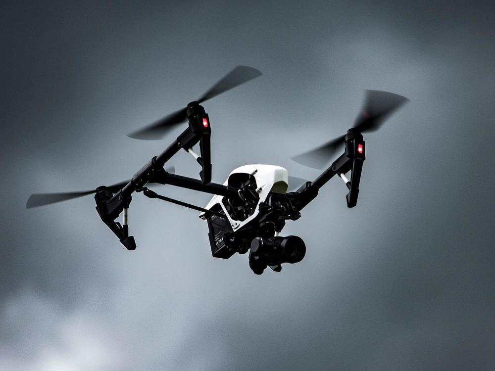
Drone technology is evolving very quickly. In December 2020 xFold drones, was introduced. They have a capacity of 1,000 pounds, 8 hours flight time and interchangeable rotor configuration. This drone can: - transport heavy loads on worksites - develop 3D maps thanks to their sensors and robotic arms.
Drones can already:
What can we expect drones to do in the future?
Drones, which are also named Unmanned Aerial Vehicles (UAV):

The global construction drone market is projected to reach $12 billion.
Covid 19 lockdown in many countries has slowed down the growth of the drone market in the construction industry.
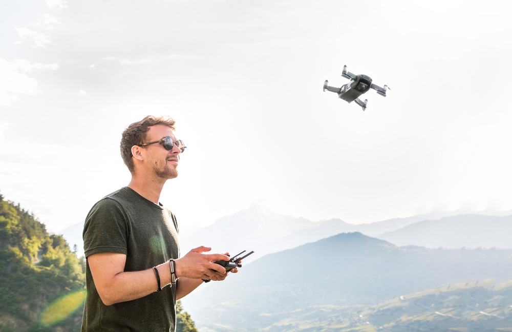
You can envisage manual operation and automated operations of construction drones remotely to get an aerial view of a construction site to:
The global need of building new houses supports the growth of drone demand, to fulfill the need for surveying large lands with difficult access being on uneven terrain or containing rocky obstacles.
Drones are perfectly adequate to perform these tasks efficiently and quickly reducing the need for human intervention.
Initiatives similar to the Survey of India (SoI) are expected to drive the construction drone market growth during the forecast period.
With the use of drones and other technologies like GPS and artificial intelligence to make mapping activities easier and more efficient, SoI, has undertaken the mapping of the Village Gaothan (Aabadi) areas in the State of Maharashtra covering more than 40,000 villages. Similarly, drone-based mapping for five districts of the State of Karnataka for the revenue departments including village, semi-urban and urban areas has also been undertaken by the SoI. SoI has also initiated latent semantic mapping for the complete state of Haryana using drone technology.
Governments in various countries have been under pressure to invest in residential and infrastructure construction to develop their economy and improve the standard of living. For example, Japan invested $367 billion in infrastructure projects in Southeast Asian countries such as Indonesia, Singapore, Thailand, and the Philippines.
These initiatives will help the construction industry worldwide to grow, expanding the need to use drones and contributing to the growth of the construction drone market during the forecast period.
In the U.S., Canada, the UK, Europe, Russia, India, China, and Brazil urbanization expanded due to a high rise in the population and posed major implications for the built environment and demand for housing in the short- and long-term. For example, Canada's total investments in building construction registered an increase of 12% in June 2020 as compared to May 2020.
Never in the history of warfare have drones been used as intensively as in Ukraine. Russians and Ukrainians depend heavily on unmanned aerial vehicles to pinpoint enemy positions and guide their hellish artillery strikes. The drone fleets of both sides are depleted, and they are racing to build or buy drones.
The drone construction market could then be slowed to fulfill this new demand on the drone market.
This segment is projected to grow significantly.
Construction drone margins are negatively impacted by expensive specialized equipment:
This is expected to hold down the growth of the market.
Another negative impact on the global market growth is the lack of skilled manpower for designing, developing, and operating drones.
The drone offering is continuously improving to fulfill the needs of our industry. For example:
Advance technologies are coupled with drones to improve the surveying of lands:
For example, drones can create 3D models of large areas with laser scanners combined with a standard topographic survey, and put in computer programs to identify what earthwork volumes are present on the construction site.
The global construction drone market is segmented into:
Types: fixed-wing drones and rotary-wing drones
Application: surveying lands, infrastructure inspection, security & surveillance
Clients: end users, residential, commercial, and industrial.
Regions: North America, Europe, Asia-Pacific, and LAMEA. Asia-Pacific holds a dominant position in 2019 and is expected to grow at a significant rate during the forecast period.
Key companies in the construction drone market include:
Acquisition, partnership, and product launch are the key strategies being adopted by major players to remain competitive in the market.
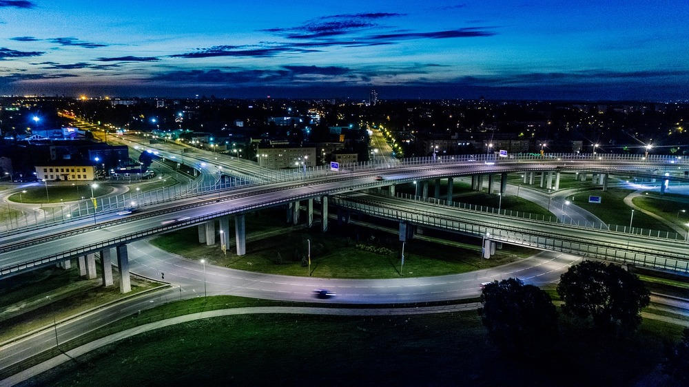
Data produced by drones are used throughout the construction lifecycle, from feasibility to maintenance.
A topographic survey of the site with drones allows you to understand the environment of the future project even during the strategy phase to show the possible:
You can use the topographic survey imageries in the BIM Execution Plan to collaborate with architects, local authorities and engineers.
With a drone, 3D models, and augmented reality you can display an as-built building on the site to:
Maintenance may cost you a lot of money and time if you are using traditional facility management tools. To prevent serious problems you have to ensure the quality and maintenance of your assets at reasonable costs. Drones sent to visually inspect your assets and knowing exactly where the assets are located makes the whole process much easier even in hard-to-reach and hazardous areas. It is cost-effective and brings you accurate data in real-time
The construction phase is where the drones will bring the highest value.
By importing drone images in software you will be able to:
Accurate site visualization allows you to compare what was actually built and overlay it over the design to identify differences between planned and real-time progress, and correct errors very early on to avoid costly reworks.
Using drones to survey progress allows you to check and validate the completed work on site every day so you can move on to the next task, shortening the construction process and making sure that deadlines are met.
Monitoring progress with drones in real-time allows all stakeholders in their respective locations to know how things are progressing. It is more efficient and less costly than traditional site visits or helicopter images that are out of date the minute they are taken.
So, you can:
When your project is moving forward, and it reaches a milestone, you want to be sure that everything has been achieved to the highest quality standard. Further construction is based on that milestone, so if something has been done wrong, you’ll eventually get stuck, and you may have to tear down what has been done previously. Having up-to-date visual data can help you catch a mistake before it takes shape and avoids demolition and the waste of time and materials related to it.
And if a mistake happens, and it is built over, you have regular documentation of the process, and you can check back to see where the mistake occurred more precisely and settle disputes without lengthy discussion, or even court cases.
Detailed documentation presents advantages to both the contractors and the site owner, who will take over the responsibility of the project once complete. Specifically, the owner can look carefully through the documentation before agreeing to the handover, and contractors can prove that the work has been conducted as per requirements, including details on who did what.
The drone market is expanding at high speed and is here to stay.
Drones can be used in all phases of a construction project. You can envisage manual operation and automated operations of construction drones remotely to get an aerial view of a construction site to:
Driving Vision can help you to decide if you need to invest in technology. Our technology diagnostic looks at the best way to incorporate new technology into your workflows and how to move your organization to cloud computing so you can open up new possibilities for your daily planning tasks and make sure your data never leaves the optimally secured data center.
The technology appraisal report will help you to explore what investment is required to improve your projects’ productivity and collaboration as well as the ROI you can expect.
A Driving Vision expert will conduct the interviews online and will issue a report and discuss our findings with you. Together we will decide the best way to implement the solutions at your pace and according to your budget.
Implementing BIM can be daunting, but Driving Vision is here to help you at the pace you are comfortable with. Get started by getting in touch now
You minimise the level of investment required to implement BIM as we share the Research and Development costs with other client
You increase your revenue by staying ahead of the competition as BIM best practices allows you to win bigger and more rewarding projects.
You reduce your costs, more than our fees cost you, by decreasing potential litigations, rework, and errors and omissions